September 20, 2009
Postcoded maps
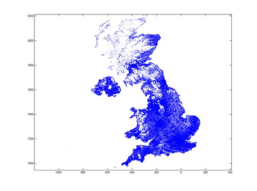
UK postal codes have always fascinated me, with their rich alphanumeric structure. Now I got the chance to play around with their geography.
Plotting their latitude/longitude (or in this case, my approximation to a map projection in km) produces a nice density map:
Zooming in reveals what looks like a self-similar fractal structure:
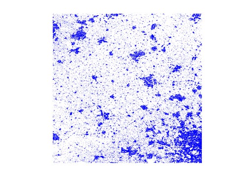
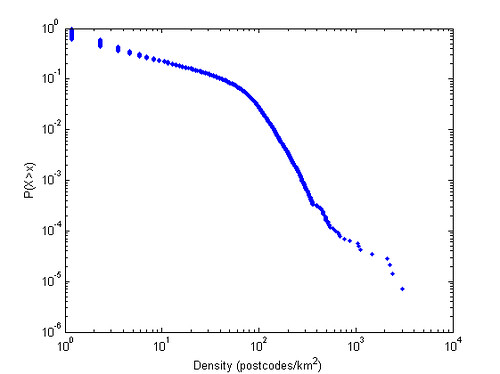
(at least in areas where geography does not strongly constrain, such as the south Wales valleys). Estimating the postcode density and plotting a cumulative distribution suggests that there is a mix of two power laws, one for rural areas and one for urban areas.
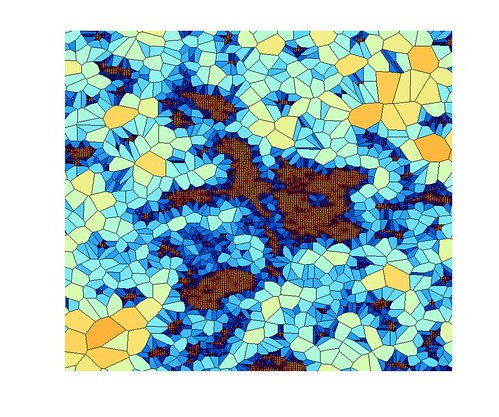
I also had some fun making a Voronoi diagram based on the code locations. Here is Oxford:
Comments